X64 Spatial Data Editor
Advertisement
HTML Meta-Data Editor v.1.5.0.1
NB Software HTML Meta-Data Editor is an easy to use, professional quality meta-data editor with powerful features including templates that can be applied to multiple pages and user defined meta-data tags.
Advertisement
Core Data Editor v.3.2
Core Data Editor lets you easily have a look at applications data.
TextMaster Data Editor Standard Edition v.3.0.1.6.
TextMaster is an extremely powerful and unique flat file editor. It allows you to very quickly and easily query your fixed/delimited files, as if they were an SQL database. This means that you can SELECT, UPDATE, INSERT, and DELET..

TextMaster Data Editor Pro Edition v.3.0.1.6
TextMaster is an extremely powerful and unique flat file editor. It allows you to very quickly and easily query your fixed/delimited files, as if they were an SQL database. This means that you can SELECT, UPDATE, INSERT, and DELET..
Paradox Data Editor v.2. 5. 2001
This is viewer and editor for Paradox tables. Built-in BLOB viewer, filtering and searching, column statistics and structure viewer are tools that covers most needed operations. It has password protection removing and fix & repair ability.
Tabular Data Editor v.2012.06.30.1549
Simply edit text based tabular files, like CSV (comma separated values). Loads and saves any format, and file extensions can be configured to various formats. Columns can be edited,
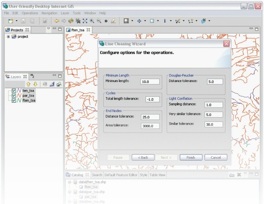
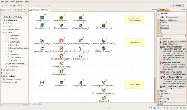
UDig x64 v.1.3.1
uDig x64 is an open source (LGPL) desktop application framework, built with Eclipse Rich Client (RCP) technology.
SuperGIS Spatial Statistical Analyst v.2.0
SuperGIS Spatial Statistical Analyst is a set of application software integrating geostatistical methods and GIS functions.
CARIS Easy View v.2.0.0.1
View your spatial data from a wide range of file types, connect to a WMS server, load ENCs and VPF libraries, visualize BASE, BAG or LOTS grids in interactive 3D, export 3D flight paths to XML or to an AVI digital video file.
WinChips v.4 7
Chips, the Copenhagen Image Processing System, is a general-purpose software package for remote sensing image processing and spatial data analysis with extensive support for NOAA AVHRR data.